A park of connected assets
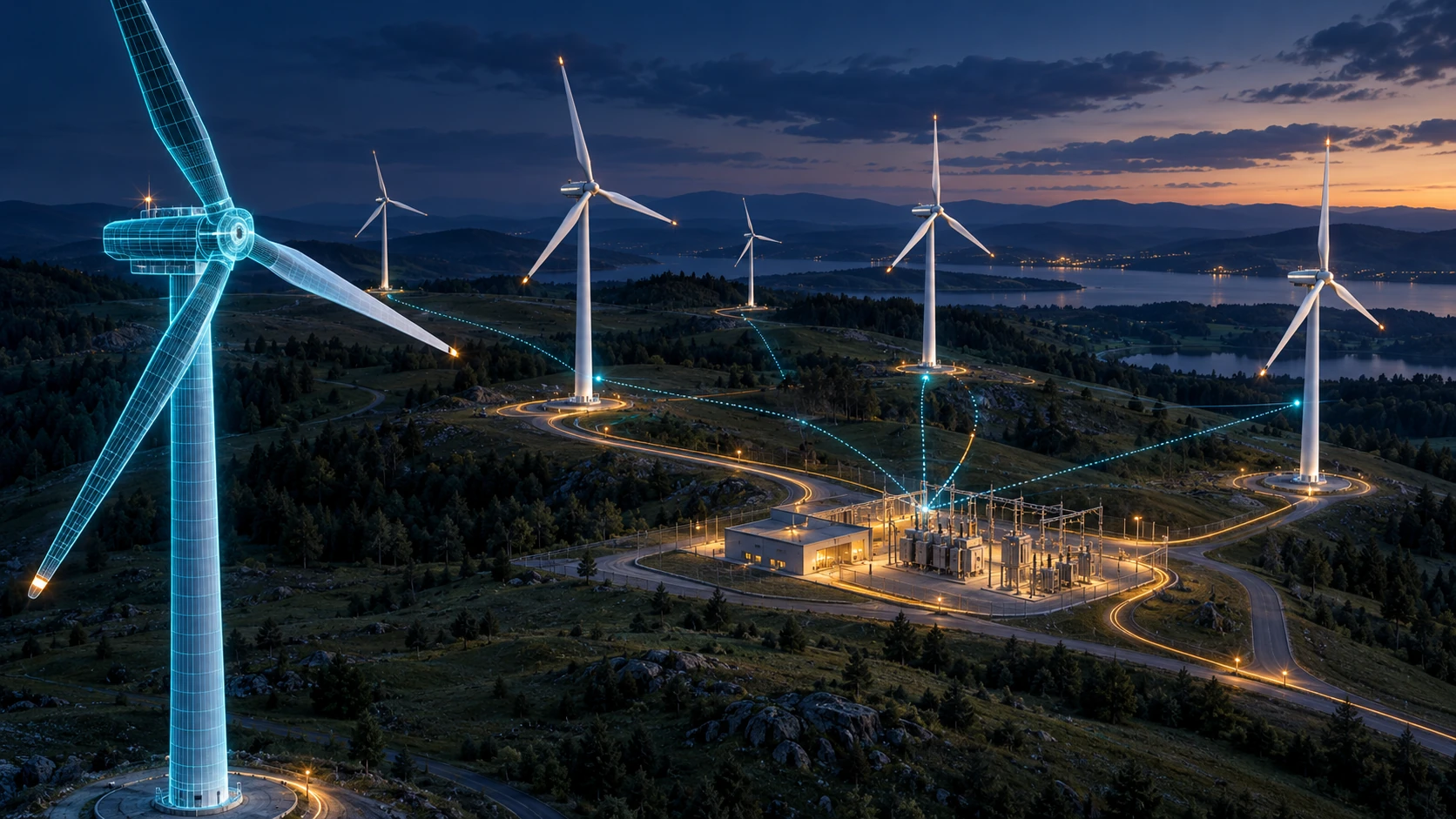
Connect each turbine identity to approved inspection history, environmental observations and operational telemetry. Explore turbine, substation and collection-network context in one spatial interface.

From intelligence and immersive spaces to the software and content behind them.
Explore solutions ↗Explore the people, applications and AI opportunities that shape your experience.
Explore industries ↗Custom hardware, applications and content connect education, market intelligence, corporate advisors and embodied AI.
Explore ai ↗Digital twins, BIM, AR/XR and the full 360° collection connect spatial information to meaningful decisions.
Explore digital twins ↗Paravision brings its real-time visualization, software engineering, interactive environments and integration expertise to digital twins. We connect a spatial representation to the information people need to understand an asset, compare scenarios and coordinate decisions.
Discuss your project ↗A 3D model describes form. BIM brings structured building information. A digital twin connects the representation to maintained information about the physical asset or environment, with update mechanisms defined around the use case.
The twin may use scheduled updates, enterprise records or live sensors. The right architecture follows the decision, data quality and operating reality. AI is an optional intelligence layer.
Explore an illustrative geared wind turbine in genuine 3D. Open its enclosure, follow the rotating drivetrain and inspect the parts that connect wind energy to electricity.
Drag to orbit · scroll or pinch to zoom. All parts can also be selected below.
The blades capture energy from the wind and turn the rotor. Select a component to follow the energy path.
Connect each turbine identity to approved inspection history, environmental observations and operational telemetry. Explore turbine, substation and collection-network context in one spatial interface.
An evaluated AI layer can explain authorized maintenance records and prioritize items for human review. It must distinguish measured signals, missing data and model assumptions.
Use the cutaway to explain the energy pathway and equipment roles. Paravision integrates the 3D content, application, touch/XR interface and approved data connections.
Illustrative geared configuration; some turbines use direct drive. Motion speed and exploded spacing are explanatory, not engineering values or a power forecast. No live operational data is connected.
The rotor captures wind energy; the geared drivetrain turns the generator. Power conversion, transformer equipment, the collection network and substation connect the turbine’s electrical output to the grid.
A commissioned twin can show authorized rotor speed, vibration, temperatures, power and availability beside weather observations. Every value needs a unit, timestamp, quality state and accountable data owner.
Connect a selected component to inspection history, work orders, approved procedures and replacement records. Visualize a maintenance window without confusing equipment availability with electricity output.
Evaluate anomaly detection, component-health assessment and production forecasting against appropriate history. Show model assumptions and uncertainty, and keep operational approval with the responsible team.
The website illustrates the integration approach. It does not display measured production, calibrated turbine performance or live SCADA information.
Four sector examples make the relationship between a physical environment, its information and the user’s decision clear. Each conventional twin can work independently; AI is added only where it serves an evaluated purpose.
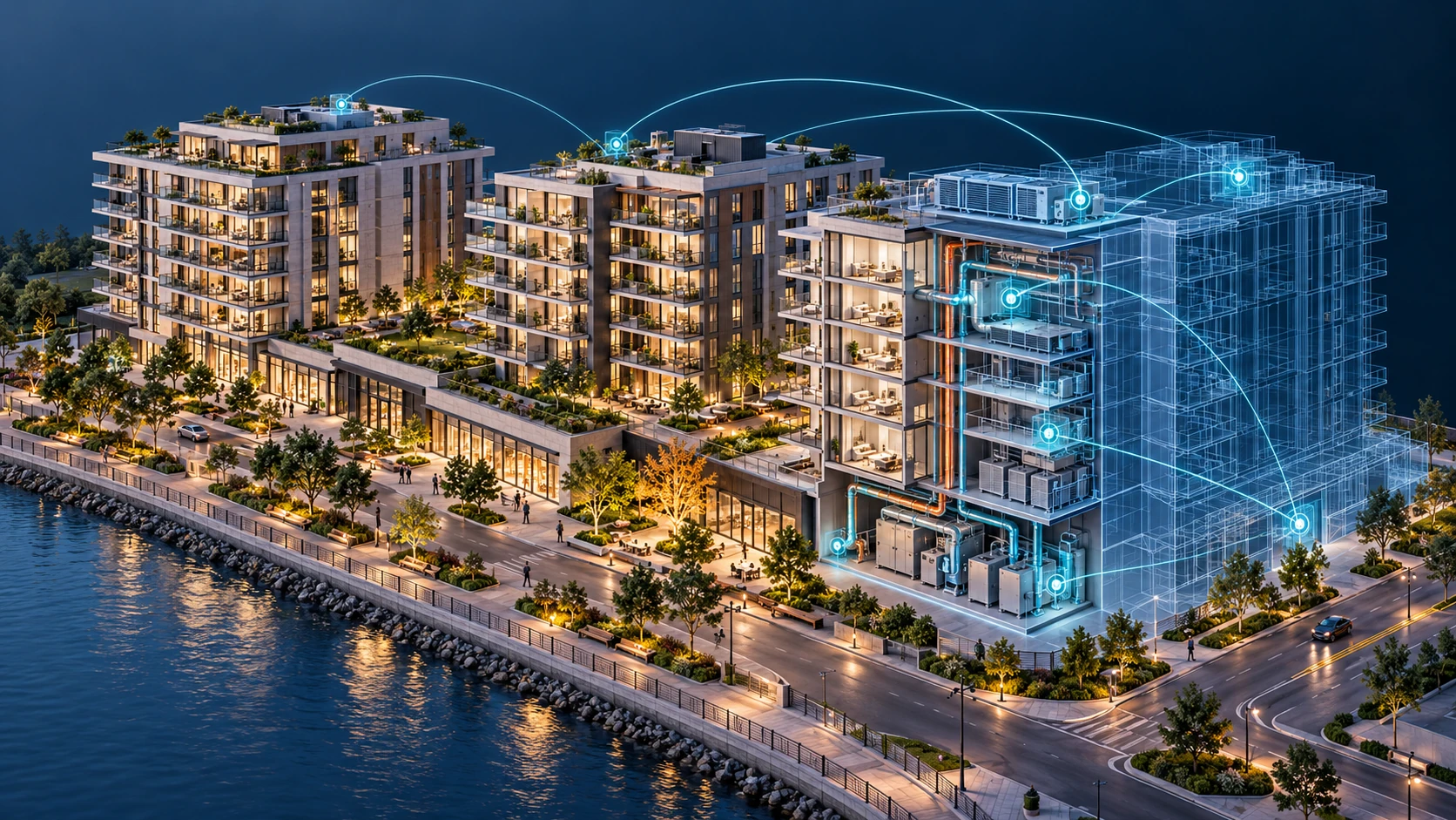 Illustrative digital twin reference
Select buildings, floors and units through agreed asset identifiers.
From a single building to a mixed-use development, a digital twin gives owners and teams a shared spatial view of what exists and how it is being used.
Paravision brings the model, data interfaces, application and touch or immersive presentation together for property and facilities teams.
With suitable historical data, an AI layer can help investigate unusual consumption, explore demand forecasts and summarize maintenance evidence. Recommendations remain source-linked and subject to owner review.
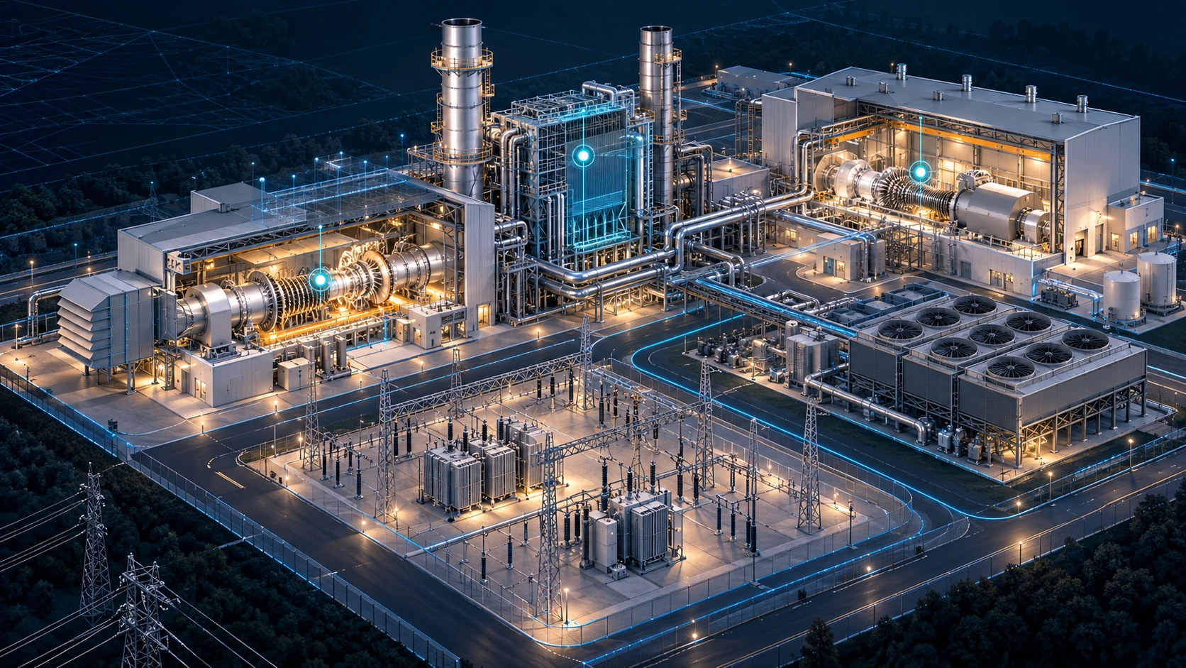 Illustrative digital twin reference
Navigate the turbine area and associated equipment identities.
An electricity-generation twin connects plant equipment to approved operational context, helping teams navigate complex systems and understand relationships.
Paravision creates a readable visual interface, interactive training content and software integrations around the plant owner’s systems and specialist engineering teams.
Where validated data is available, AI can support condition-pattern analysis, investigate anomalies and compare generation or maintenance scenarios. Predictive outputs show assumptions and uncertainty; operational changes follow the plant’s authorized control process.
Illustrative digital twin referenceNavigate turbines, towers, nacelles and foundations through agreed asset identities.
Change the wind context or illustrate a maintenance window. The diagram explains the relationships; it does not simulate a calibrated power curve.
Illustrative diagram · no live feed · no production forecastA wind-farm digital twin brings turbines, weather, terrain, electrical infrastructure and operating information into one navigable environment, from an individual asset to the whole park.
Paravision integrates the spatial model, approved data interfaces, interactive dashboards and training content for web, touch, control-room presentation or XR. Wind-resource, turbine and electrical engineering are coordinated with the responsible specialists.
With suitable data and validated methods, an optional intelligence layer can support generation forecasts, condition analysis and maintenance planning. Weather and aerodynamic models help assess wind and wake effects; these models can also operate without AI. Forecast assumptions and uncertainty remain visible.
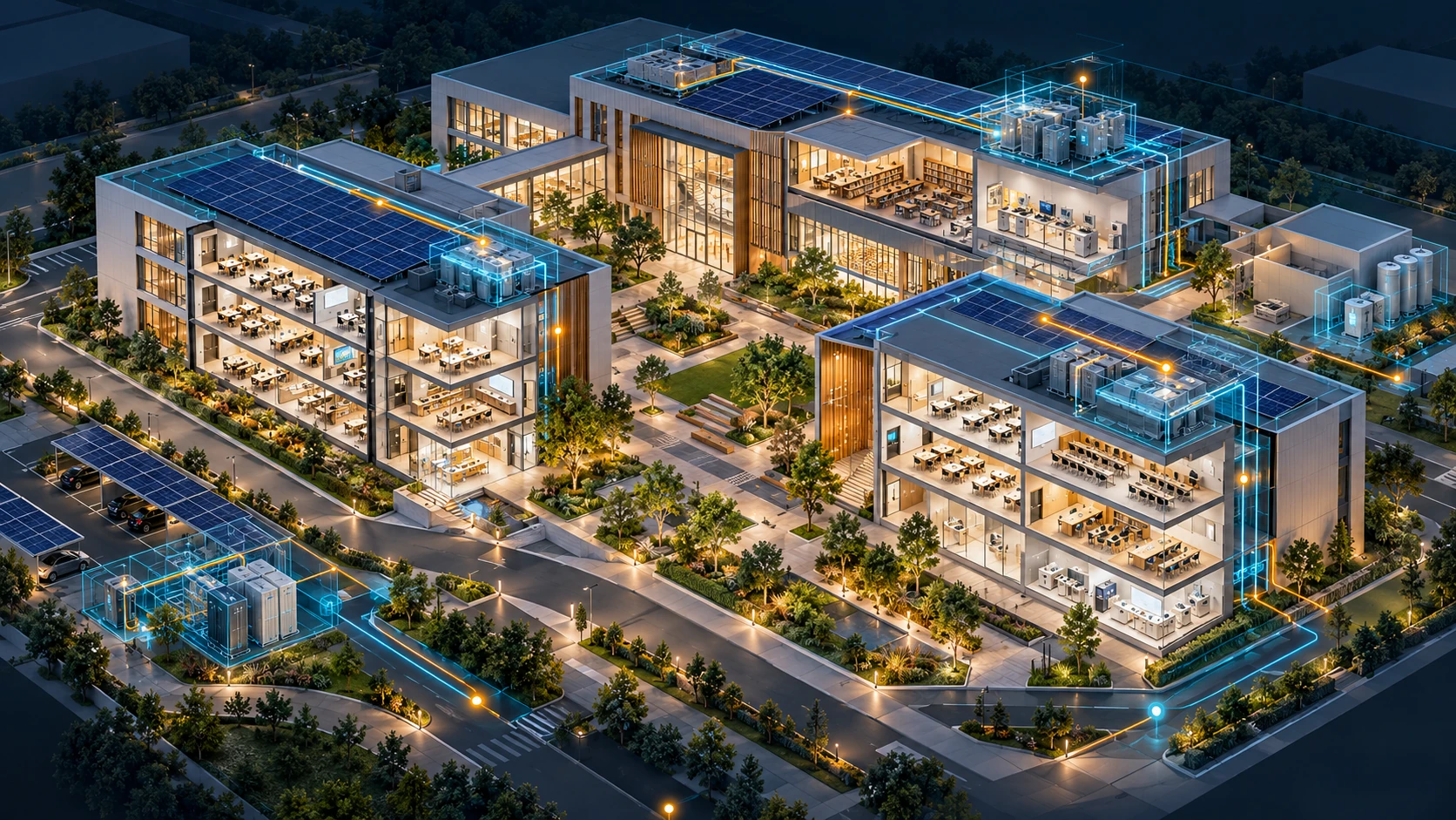 Illustrative digital twin reference
Find teaching rooms and understand their place in the campus.
A campus twin makes facilities visible to estate teams and turns complex systems into an understandable learning environment.
Paravision combines educational content, campus visualization and web, touch or immersive interfaces for facilities teams, instructors and visitors.
An optional AI layer can explain approved facilities information, explore aggregate space-demand patterns and support energy-use forecasting when the data is appropriate. Campus operations data is separate from AI Tutor learner records.
These AI-created visual references illustrate potential integration scopes. They are not photographs of delivered Paravision projects, certified BIM models or engineering schematics. Data availability, model readiness, technical validation and delivery responsibilities are defined for each project.
Best when the priority is a reliable shared view, operational visibility or a repeatable decision process.
Best when richer knowledge access or evaluated predictive insight adds value. AI performance is tested against representative data before scale-up.
Connect masterplans, buildings, units and asset records. Support design review, sales presentation and portfolio understanding through a consistent spatial experience.
Bring geography, buildings, networks and approved indicators into a common context. Explore planning alternatives, infrastructure relationships and city-scale communication.
Place technical information, assets and operational dashboards in context. Scope monitoring and training experiences around the client’s approved systems and access rules.
Connect the twin to touch tables, immersive walls, tablets and presenter controls. A shared environment helps teams explore the same question together.
Link equipment identity to approved records, maintenance history and condition information. Define the update route and operating responsibilities with the asset owner.
Use spatial environments to explain systems, rehearse approved scenarios and support collaborative learning. Simulation assumptions remain visible to learners and instructors.
Agree the users, assets, questions, system boundaries and measures of success. Separate visual exploration from monitoring, simulation and prediction.
Align approved BIM, CAD, geospatial information, 3D assets or captured environments. Establish asset identities, coordinate systems and version ownership.
Map records, documents, APIs and selected sensor feeds to the relevant assets. Make refresh times and source limitations clear.
Develop the web, real-time, touch, room or XR interface with content and hardware planned together.
When AI is required, define retrieval, access, evidence, model evaluation and human approval. Keep the conventional twin useful independently.
Test the end-to-end journey, document the integrations and train operators. Establish update, support and expansion workflows.